
Which map is used?
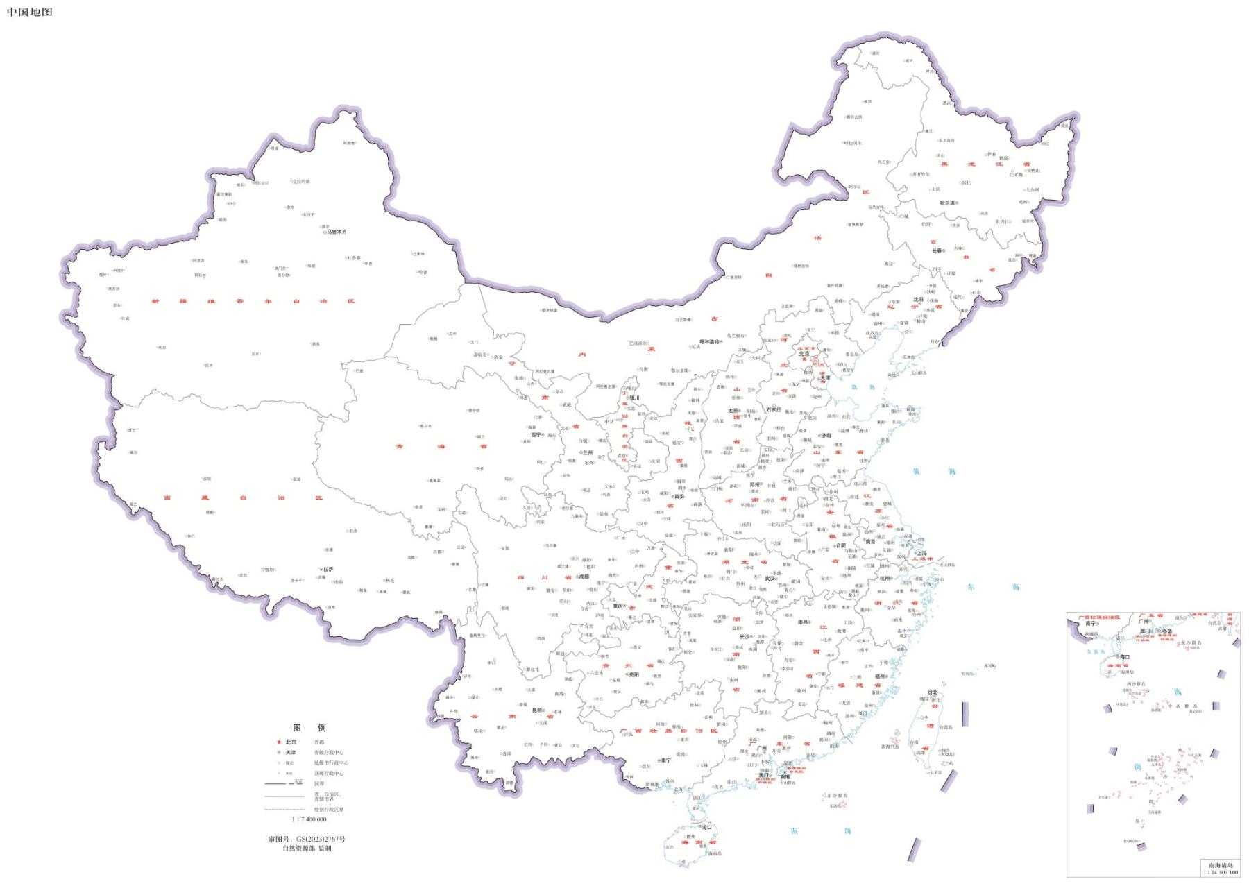
The base image is the China standard map bearing GS(2023)2767, scale 1:7,400,000, supervised by the Ministry of Natural Resources. It retains the complete image, national boundaries, island representation, inset, legend and printed review number.
Where was the file obtained?
The image was obtained from the public Shamoku standard-map mirror. Its identity was cross-checked against the Standard Map Service item and the map index. The downloaded JPG is retained byte-for-byte, without cropping, recoloring or editing. View the complete base image.
What do the numbered pins mean?
Pins and linked text are a separate HTML navigation layer. They indicate approximate city-center locations for selected research pages, not surveyed coordinates or official industrial belt boundaries. Each destination cites the source supporting its regional industry context.
What does the review number cover?
The printed review number identifies the original base map; it does not certify ChinaManufacturer’s added industrial navigation. The official service distinguishes direct use of standard maps from personalized maps. Any separate review applicable to a public thematic presentation must be confirmed before treating it as an approved thematic map.